Nº 138 · Catalina Island place
Star Bay
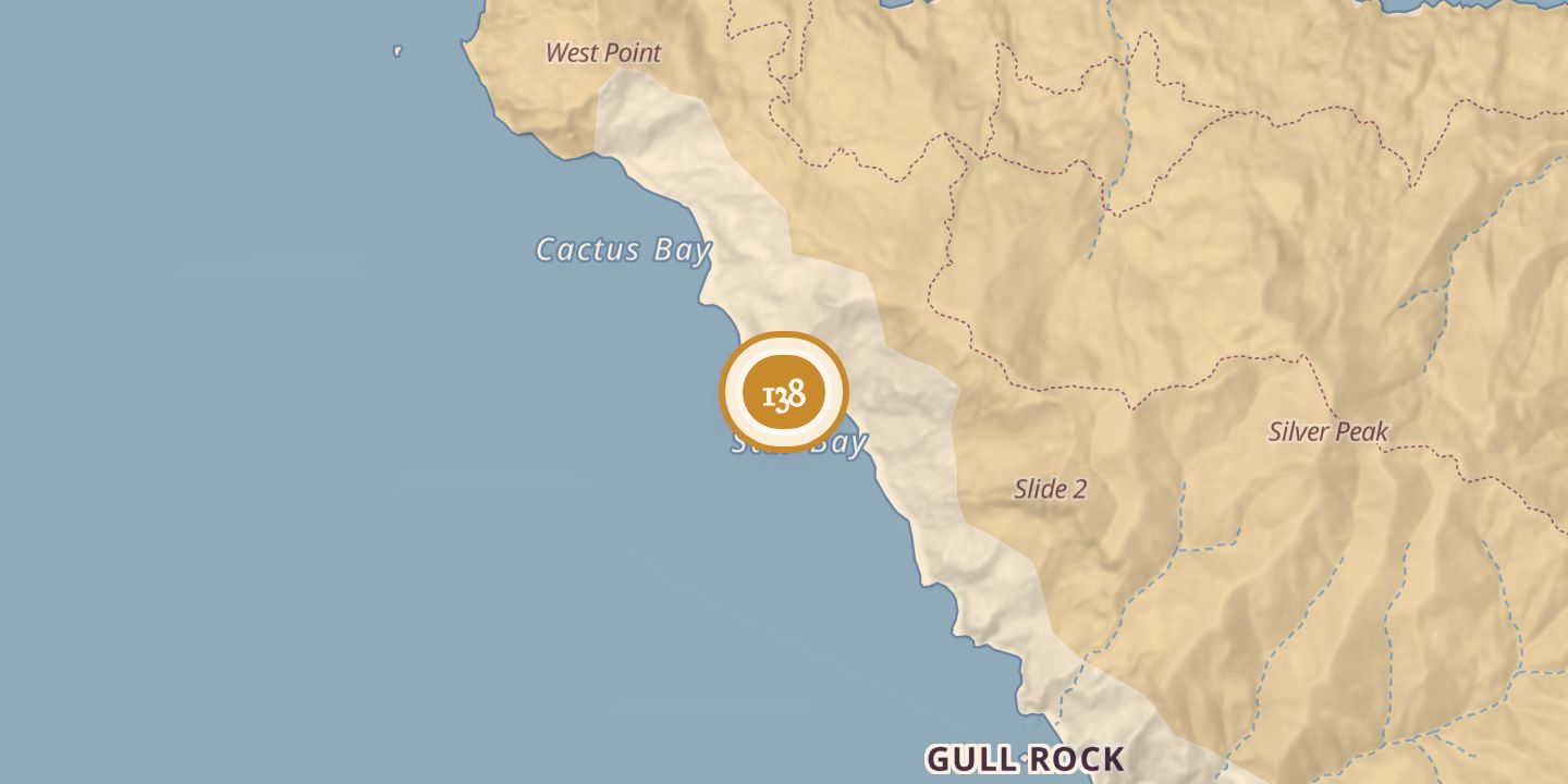
| Today | A sheltered cove and reef dive site on Santa Catalina Island’s southeastern shore. The reef was described as extending from 8 to 25 metres deep; the site was listed as open year-round, subject to local operator availability. |
|---|---|
| Location | 33.4611° N · 118.5901° W |
History
Star Bay was identified on the south side of Santa Catalina Island, 1.4 miles southeast of the West End. A topographic listing classified it as a bay and gave coordinates of 33.4611° N, 118.5901° W.
The site was described as a protected cove with rocky pinnacles, sandy channels, and giant kelp. Divers visit its reef, which was noted for green sea turtles and other marine life; no naming history or dated events were stated.
Sources
Every source for this place is numbered on the Sources page, with original records listed first.