Nº 139 · Catalina Island place
Starlight Beach
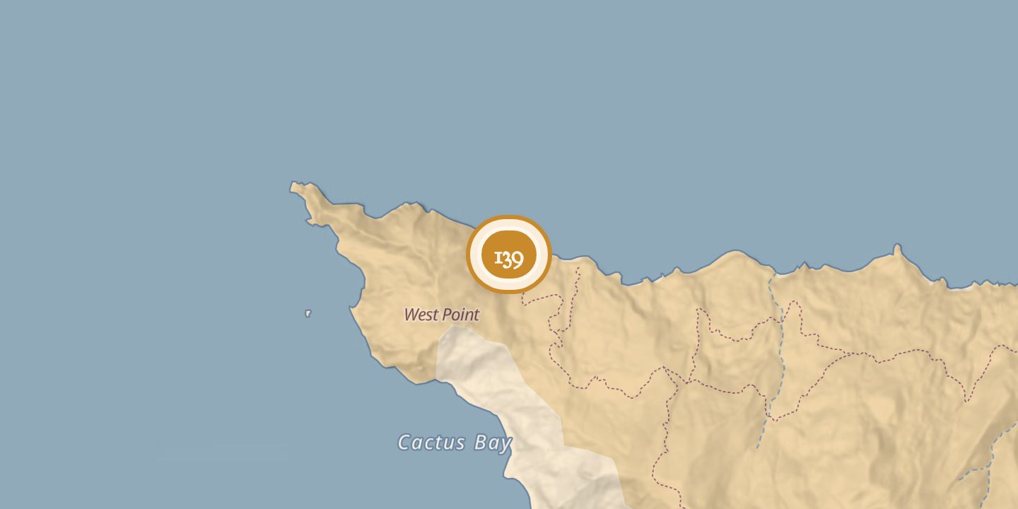
| Later | The beach was formerly the western end of the Trans-Catalina Trail and remained a destination for hikers. |
|---|---|
| Today | A remote cove and rocky beach near Catalina Island’s West End. One guide describes it as day-use only with no camping; another includes it among primitive beach camping locations. |
| Location | 33.4753° N · 118.5932° W |
History
Starlight Beach was a small cove and beach about three-quarters of a mile from Catalina Island’s West End, on the island’s front side. Johnson’s Rock lay offshore, about a quarter of a mile from Starlight Cove.
The Trans-Catalina Trail, opened in 2009, formerly ended at Starlight Beach; it was later rerouted to Two Harbors, and the beach is no longer part of the trail. A hiking guide describes it as day-use only with camping prohibited, while a sailing guide lists it among Two Harbors’ primitive beach camping locations.
Chronology
- 2009The Trans-Catalina Trail officially opened; it formerly ended at Starlight Beach.
Sources
Every source for this place is numbered on the Sources page, with original records listed first.