Nº 140 · Catalina Island place
Stony Point
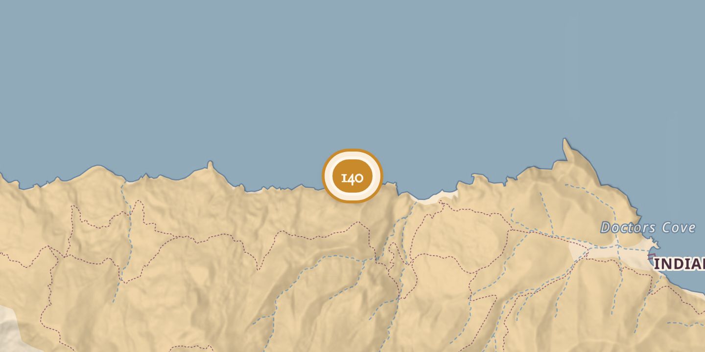
| Today | A stony ridge on the island’s north side, 0.9 miles west of Arrow Point. |
|---|---|
| Location | 33.4748° N · 118.5570° W |
History
Stehman Forney depicted Stony Point in 1875. In 1904, the U.S. Coast & Geodetic Survey report described a rocky ridge rising from the coast west of a relatively level plain divided by a deep canyon, with water in two or three places.
The report characterized the feature as a prominent landmark. Stony Point lies on the island’s north side, 0.9 miles west of Arrow Point.
Chronology
- 1875Stehman Forney depicted Stony Point.
- 1904The U.S. Coast & Geodetic Survey report described the ridge and nearby landscape.
Sources
Every source for this place is numbered on the Sources page, with original records listed first.