Nº 144 · Catalina Island place
Torqua Springs
| First use | Water was carried from the springs to Avalon in five-gallon cans. |
|---|---|
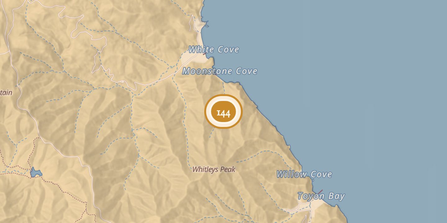
| Today | The springs lie southeast of Long Point and Moonstone Beach on Santa Catalina Island. Offshore are a reef and kelp forest popular with divers; four to six harbor seals were reported living semi-permanently on nearby rocks. |
| Address | Southeast of Long Point and Moonstone Beach, Santa Catalina Island |
| Location | 33.3848° N · 118.3670° W |
History
Torqua Springs lay southeast of Long Point and Moonstone Beach on Santa Catalina Island. They were probably named for Chief Torqua, described as likely the island’s last chief.
In the early 1890s, Captain Dominic “Torqua Pete” Marellia built a small fishing boat to carry water from the springs to Avalon in five-gallon cans.
In July 1904, a man found a skiff with a woman and boy drifting seaward off Torqua Springs after they had tired from rowing. That September, a boatman reported seeing tuna near Torqua Spring.
Offshore, a substantial reef and kelp forest became a popular dive spot. Harbor seals were reported to feed on fish around the reef and live semi-permanently on the nearby rocks.
Chronology
- 1890sMarellia built a boat to carry water from the springs to Avalon.
- July 16, 1904A skiff with a woman and boy was found drifting off Torqua Springs.
- September 23, 1904A boatman reported seeing tuna near Torqua Spring.
Sources
Every source for this place is numbered on the Sources page, with original records listed first.