Nº 147 · Catalina Island place
Twin Rocks
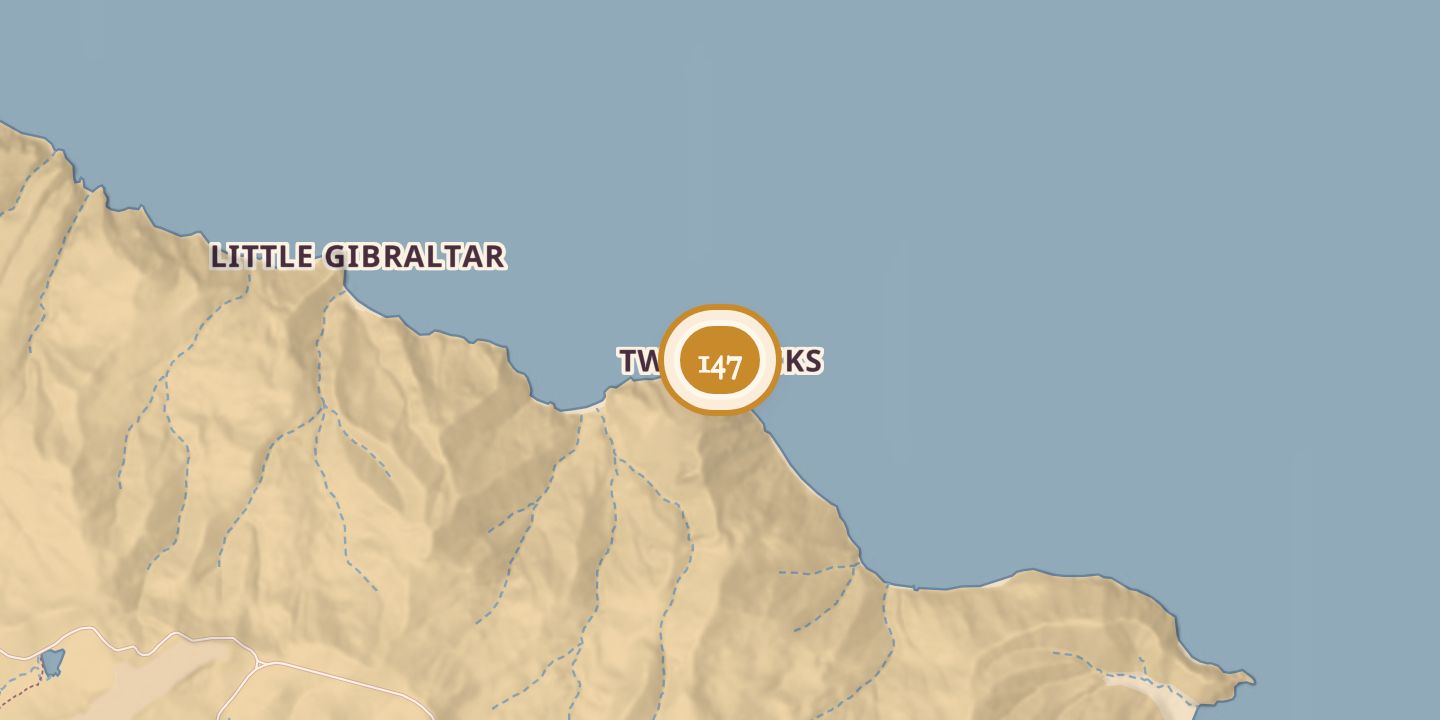
| Today | An active bald eagle nest is reported at Twin Rocks. |
|---|---|
| Location | 33.4178° N · 118.3893° W |
History
Twin Rocks was part of a bald eagle nesting territory first occupied in 1984. Active nests in the territory were recorded in 1985, 1987, and 1989; an active nest is reported at Twin Rocks today.
In April 1960, divers Robert M. Howard and John Jungheit found an unidentified diver’s body in about 130 feet of water near Twin Rocks and brought it to Avalon. Another report spelled Jungheit’s surname as Jungkeit. Officials estimated the body had been submerged for at least, or nearly, a year.
Chronology
- 1960Divers found an unidentified diver’s body in about 130 feet of water near Twin Rocks and brought it to Avalon.
- 1984The Twin Rocks bald eagle territory was first occupied.
- 1985An active nest was recorded in the Twin Rocks territory.
- 1987An active nest was recorded in the Twin Rocks territory.
- 1989An active nest was recorded in the Twin Rocks territory.
Sources
Every source for this place is numbered on the Sources page, with original records listed first.