Nº 150 · Catalina Island place
West End
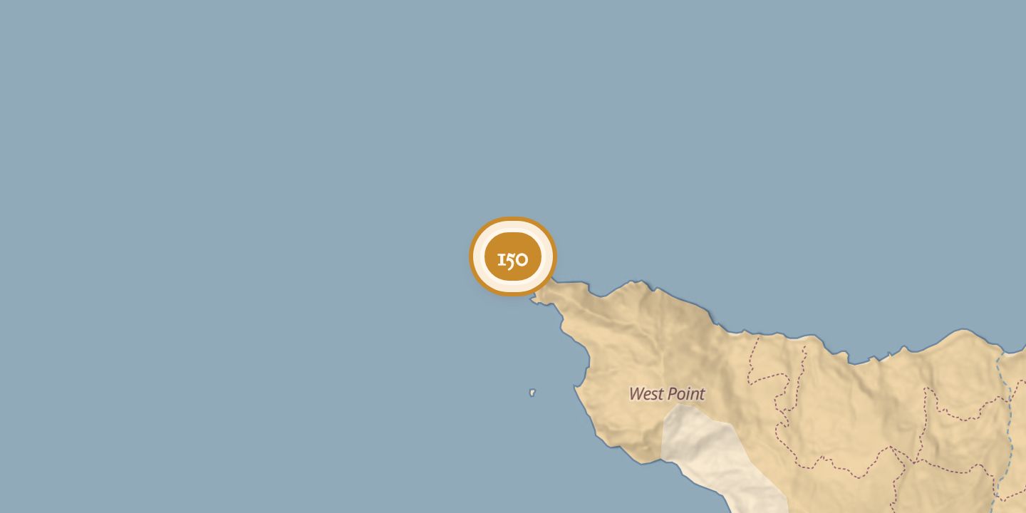
| Today | The West End is the western part of Santa Catalina Island beyond Two Harbors. It includes Howland’s Landing, Parson’s Landing, Emerald Bay, and windward-side Lobster Bay; West End Road crosses the area. |
|---|---|
| Location | 33.4792° N · 118.6065° W |
History
Twin brothers Nathaniel and Theoples Parsons, gold-seekers, gave their name to Parson’s Landing. In 1863, the Parsons and other miners began constructing a settlement called Queen City on Catalina’s western coast. The Union Army later removed the miners from the island.
The West End extends beyond Two Harbors and includes coves at Howland’s Landing, Parson’s Landing, and Emerald Bay. Lobster Bay lies on the windward side, and West End Road traverses the area.
Chronology
- 1863The Parsons and other miners began constructing Queen City on Catalina’s western coast.
Sources
Every source for this place is numbered on the Sources page, with original records listed first.