Nº 151 · Catalina Island place
Whale Rock
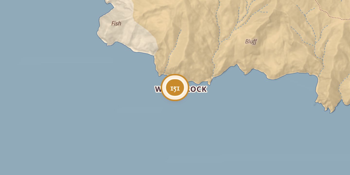
| Today | A rocky outcropping that forms a lagoon; it is also listed as a fishing and diving spot. |
|---|---|
| Location | 33.4325° N · 118.5606° W |
History
Whale Rock lies on Santa Catalina Island’s south side, on the windward West End, between Ribbon Rock and Kelp Point. It is 2.5 miles west of Catalina Harbor. One secondary account describes it as a rocky outcropping, while TopoQuest classifies it as an island.
Whale Rock is one of seven large named rocks described as circling the Isthmus north from Isthmus Cove and Catalina Harbor. A Catalina trail map gives its elevation as 1,336 feet.
Sources
Every source for this place is numbered on the Sources page, with original records listed first.