Nº 152 · Catalina Island place
White Rock
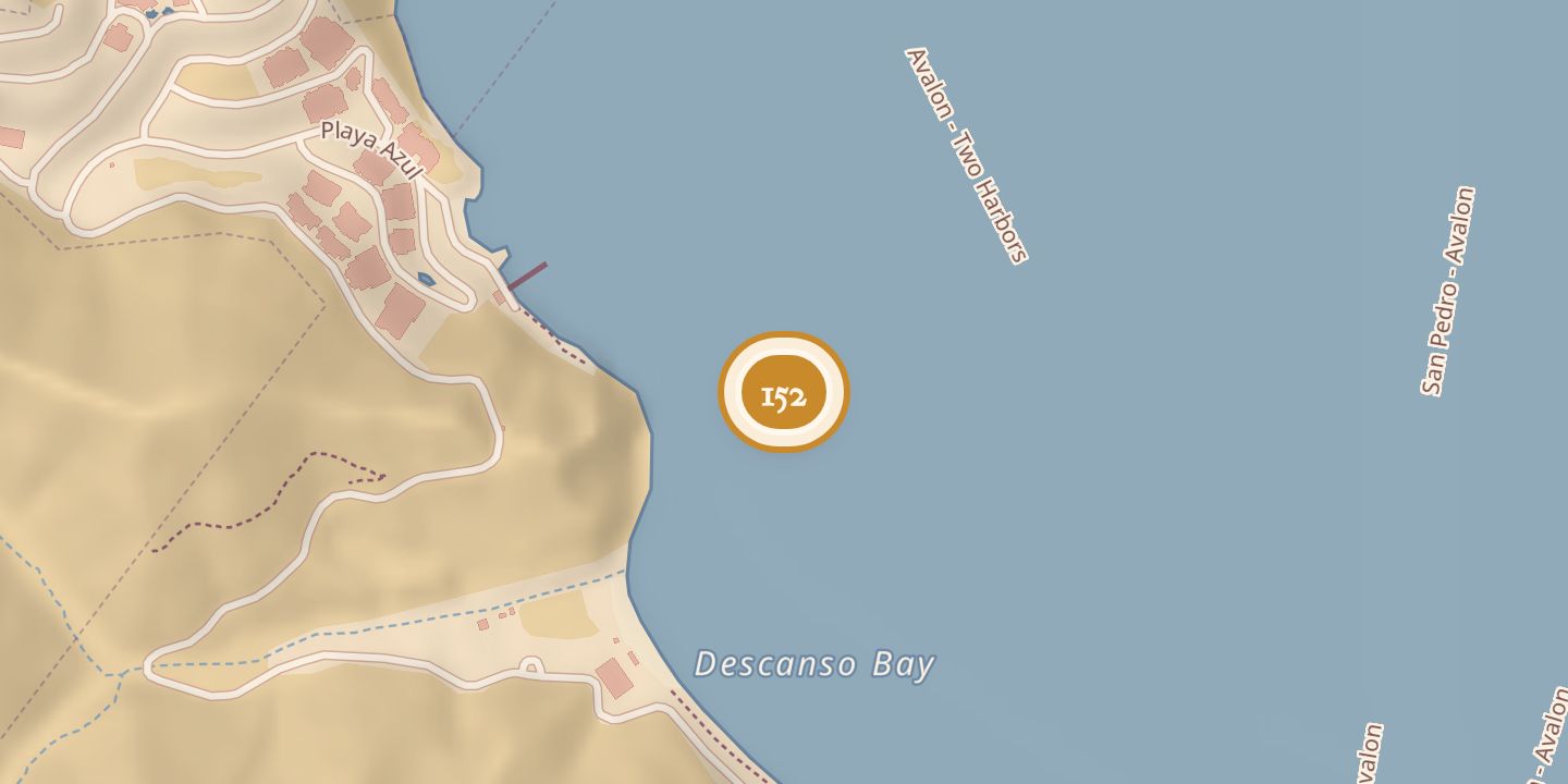
| Location | 33.3528° N · 118.3270° W |
|---|
History
In 1875, Stehman Forney recorded a survey station on the highest part of White Rock, about a mile from Isthmus Cove. The station was marked with a redwood stub and copper tack, and four leaden bolts with copper tacks were set in the rock. White Rock appeared on an 1893 topographical map of Santa Catalina Island.
A 1896 newspaper report described a fishing party catching more than fifty fish off White Rock. In 1899, Colonel C. P. Moorhouse caught a 251-pound tuna there after a three-hour-and-twenty-minute fight.
Chronology
- 1875Stehman Forney recorded a survey station on White Rock.
- 1893White Rock appeared on a topographical map of Santa Catalina Island.
- 1896A fishing party caught more than fifty fish off White Rock.
- 1899Colonel C. P. Moorhouse caught a 251-pound tuna off White Rock.
Sources
Every source for this place is numbered on the Sources page, with original records listed first.