Nº 154 · Catalina Island place
Wishbone
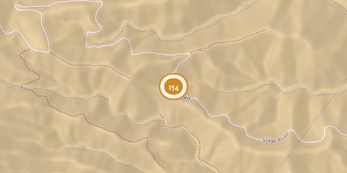
| First use | A turn for horse-drawn wagons on the descent from the summit. |
|---|---|
| Today | A U-turn on the road descending from the summit of Santa Catalina Island. |
| Location | 33.3492° N · 118.3429° W |
History
Wishbone Loop formed part of the 19th-century Stagecoach Road, which was built for horse-drawn wagons carrying early tourists down the descent. The loop was built for wagons that could not make a hairpin turn.
Six-horse stagecoaches navigated the turn, giving passengers a thrill. A July 2, 1964, Catalina Islander item named William Banning, Hancock Banning, A.A. Caraher, and Charlie Parker among the island’s former stagecoach drovers.
Chronology
- 1964-07-02A Catalina Islander item named William Banning, Hancock Banning, A.A. Caraher, and Charlie Parker among former stagecoach drovers.
Sources
Every source for this place is numbered on the Sources page, with original records listed first.